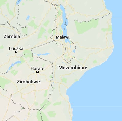
Mozambique
Mozambique is a country of southeast Africa. It has an area of 812379 sq.km. Out of that the land area is around
784089 sq.km. The remaining areas are covered with water bodies like lakes and rivers. Mozambique has a coast line of 2470 km.
The countries like Zimbabwe and Zambia are on the west. South Africa and Swaziland are on the south. Madagascar and
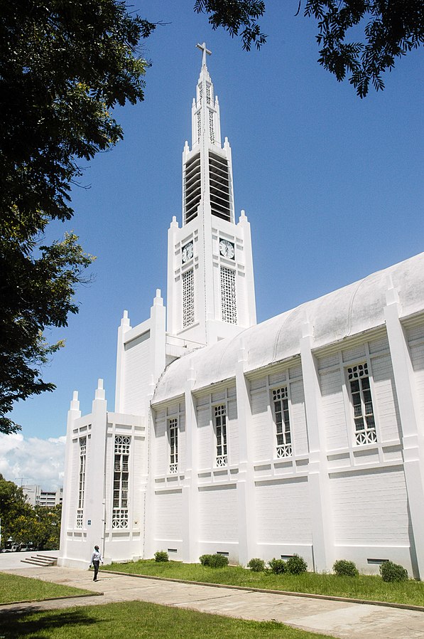
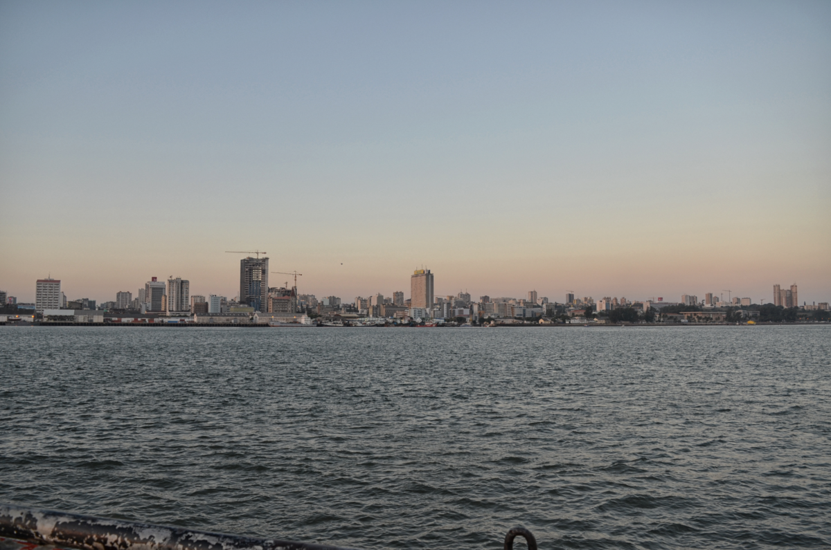
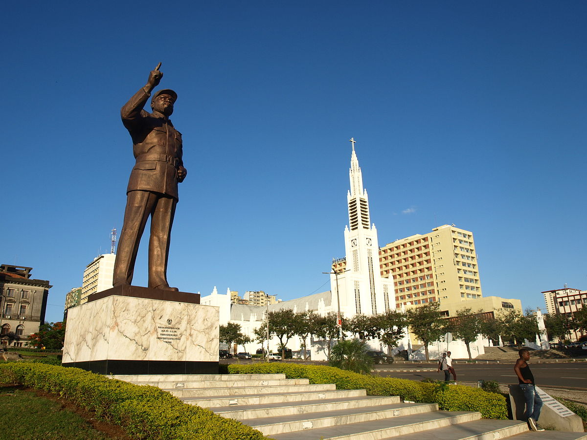
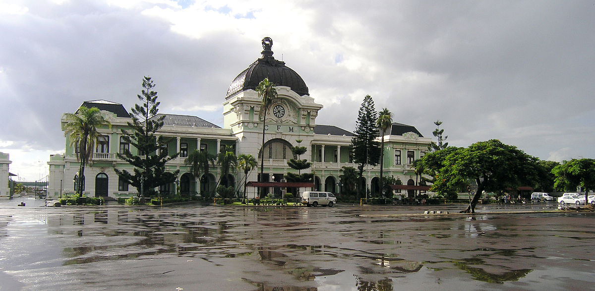
the Indian Ocean are on the east. Tanzania and Malawi are on the north of Mozambique. The capital of Mozambique is Maputo.
It is the largest city and commercial centre of the country. Other important cities are Beira, Matola, Nampulla,
Tete, Nacala and Nampulla. Mozmbique is devided into ten provinces. These are Niasa, Cabo-Delgado, Nampulla, Tete,
Zambezia, Menica, Sofala, Gaza, Inhambane, Maputo and Maputo city. The provinces are further divided into districts.
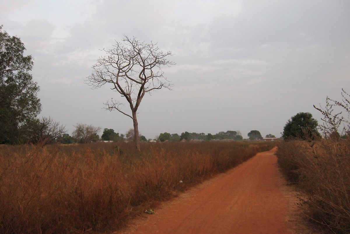
Mozambique is divided into two topographical regions by rive Zambezi. The coastal strip is narrow in the north and became broader
in the south. The major part of the country is full of rugged highlands. The Niasa highlands, Namuli highlands, Angonia highlands,
Tete highlands, Makonde plateau and Miombo woodlands are important hilly regions of this country.
The Mashoany land plateau and Lebombo mountain ranges are located in the southern part of the country.
The rocks of the highlands are granitic and gneissic in nature. These rocks dates back to the Precambrian period.
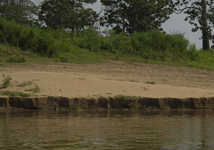
The Zambezi graben has the deposits of nonmarine terrestrial sediments. the river valleys and coastal areas have fluvial and
deltaic deposits. Remnants of lakes are found along the border with Malawi. The important lakes are Niasa, Chuta chirawa and
Cahara Bassa.
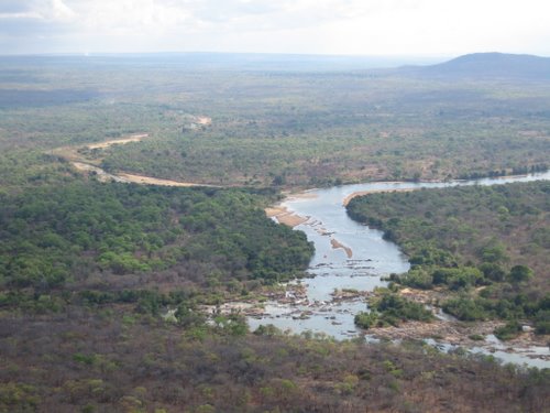
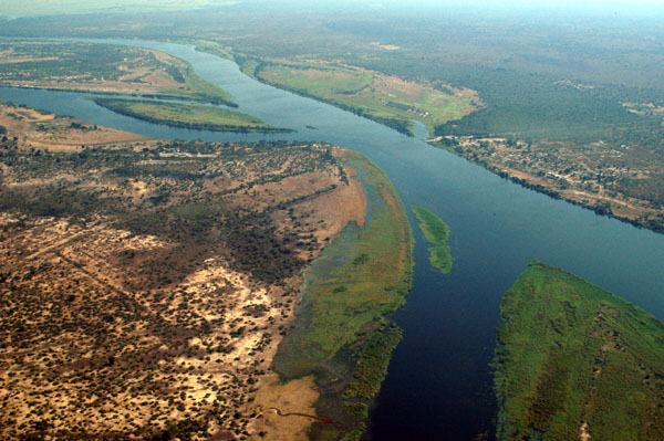
The water is drained through three major river systems. These are Rovuma river system, Zambezi river system,
and the Maputo river system. The Rovuma river flows in the northern part of the country. Smaller rivers and streams
join this river before draining into the Indian Ocean. The Zambezi river
and its tributaries are major river system of Mozambique. This river system flows in the central part of the country and
joins the Indian Ocean in the east. A large delta and flood plains are formed by river Zambezi.
The Maputo river and its tributaries flow in the south. Other important rivers in the south are Limpopo river.
The Messalo river flows in the north. The Buzi river enters the Indian Ocean near the port of Beira. Other rivers are Revue,
Lurio, Lingonha, Sabi, Komet and Changane.
The water drains through three major river systems. These are Rovuma river system, Zambezi river system, and the Maputo river system.
The Rovuma River flows in the northern part of the country. Smaller rivers and streams join this river before draining into the Indian Ocean.
The Zambezi River and its tributaries are major river system of Mozambique. This river system flows in the central part of the country and
joins the Indian Ocean in the east. A large delta and flood plains are formed by river Zambezi. The Maputo River and its tributaries flow in
the south. Other important rivers in the south are Limpopo River, The Messalo river flows in the north.
The Buzi River enters the Indian Ocean near the port of Beira. Other rivers are Revue, Lurio, Lingonha, Sabi, Komet and Changane.
The hilly regions have dry, acidic and lateritic soil. The soil is rich in iron and aluminium content. The river valleys have alluvial soil with rich nutrients. The delta region has soil with high content of mud and silt.The river valley soil is very good for crops. the hill soil is reasonable for plantation crops and corn cultivation. Mozambique is rich in water resources. It has potential for large and multiple projects for irrigation and hydro power. The climate of Mozambique is mostly tropical with monsoon rain fall. The monsoon clouds come from the sea and spread to the interior parts of the country. The north and eastern part get maximum rain fall. The south and western part get less rain fall. The island of Madagascar obstructs some monsoon rain fall. Agriculture is the major activity in Mozambique. It provides employment to more than 80 percent of working population. Agriculture contributes 20 percent of the Gross Domestic Products of the country.The crops produced are corn, potato, cassava, rice, oil seeds, beans, vegetables, ground nuts, sesame, sun flower, cashew nuts, cotton, sugar cane, sisal cocoanut, citrus fruits and tropical fruits. Tea plantations are also developed in some areas. Fishing is an important activity in lakes, rivers and coastal sea region. the important fish produced are Tuna, Mackerel, Sardines, prawns and lobsters. Poultry and goat farming are other activities . Diary activity is also carried out in many places of Mozambique. Tourism is developing as an important sector of the country. the national Parks and Natural Reserves are home to varieties of wild lives. these places are major attraction for the visitors. The animals like lion, leopard, buffalo, zebra, giraffe, elephant, baboon, antelopes, cats and birds are found in large numbers in these reserves. The water birds like flemingo, crane, stroke, heron and ibis are found in water bodies in large numbers. Coastal islands, beaches, coral islands, offshore marine park and archipelagos are important tourist destinations. But due to lack of infrastructure and communication facilities , the arrival of tourists is less . The adjoining countries like Botswana, Zambia and Kenya get significant numbers of tourists due to communication and infrastructure facilities.
Mozambique is rich in mineral resources. It has deposits of coal, bauxite, iron ore, tantalite--columbite, uranium, titanium,
gold, zircon, gemstones, fluorite, graphite, bentonite, limestone, marble, granite and natural gas. Discoveries of manganese, platinum,
diamond, nickel and asbestos added to the resources of Mozambique. Coal is the major resource of Mozambique.
Coal deposits are found in the highlands of Tete province . The Moatize region is rich in bituminous coal.
Coking coal deposits are found in this region. The Tete province lies in the western part of the country.
Major mining operation of coal is carried out by VALE of Brazil. Other operators of coal mining are Riversdale Mining Company,
Nippon Steel of Japan and Coal India Africana Limited. Railway is developed by these companies to bring coal to the ports in
the coastal region in the eastern part. The coal reserve is estimated at 6-7 billion tonnes.
Mozambique is exporting coal to many countries. Tantalite-Columbite is produced in significant amount in Mozambique.
Mining of this mineral is carried out in Marropino, Morrua and Mulane. Concentrates of tantalum oxide is produced and exported
to many countries. Aluminium is produced in large amount in Mozambique. A large smelter is established at Mozal near Maputo.
It is operated by BHP Billiton Company. Alumina is imported from Australia. Mozambique export aluminium and products to
other countries. A steel unit produces rods, wires and nails at Trefil.
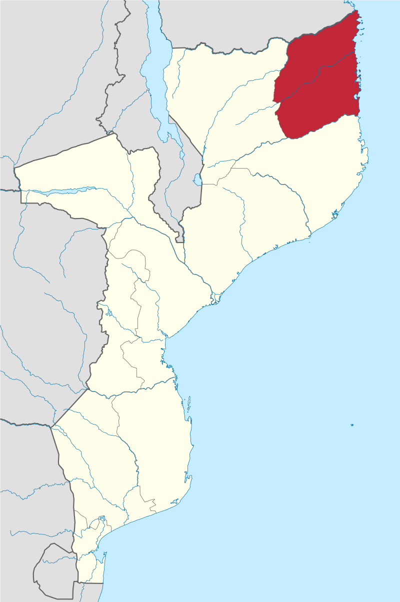
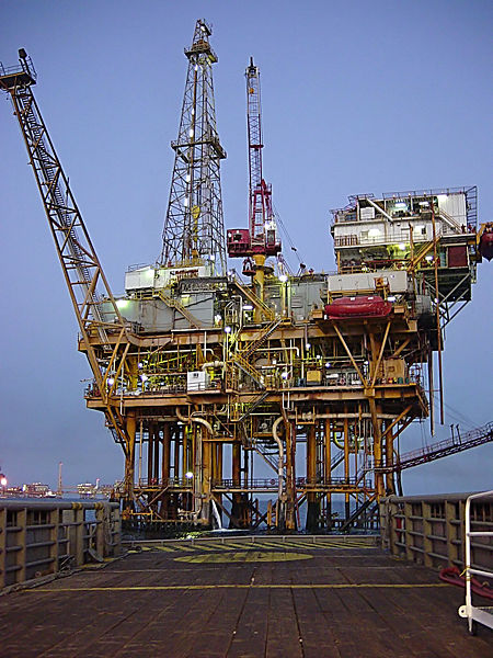
Natural gas is also an important resource of Mozambique. It is discovered in the Rovuma basin of Cabo-Delgado province.
This area is located in the northern coastal part of the country. Natural gas is also
produced from the Tamane area of south Mozambique. The Tamane Gas field is operated by the SASOL of South Africa.
Another gas field is Pande Gas field. Gas is supplied to the chemical and fertiliser plants in South Africa.
Oil exploration is carried out in the coastal region. But success is not yet achieved in this direction. Gemstones like beryl,
aquamarine, garnet, tourmaline and morganite are collected from the deposits. Mining of gemstones is carried out in Tete provine,
Niassa province and Zambezia province. Gold is collected by local artisans from the river beds.
Prospecting of gold is carried out in Fairbridge deposit of Manica province. Uranium minerals are mined from Mayuzi mines
in the north western part. Titanum and Zirconium minerals are found along the beaches neaar Chibuto in southern part of the country.
The Kenmare Resources Plc of Ireland collects minerals like rutile, ilmenite,
zircon and silimanite from the beach sand mines near Momo. Bentonite clay is produced at Mafualana in the Namacha district.
Limestone is collected and cement is produced in plants at Dondo, Nacala and Matola.
The Portugese people landed in Mozambique in the year 1448 AD. Portugese trading post was established in the year 1500 AD.
Arab traders were already settled along the coastal region prior to the arrival of the Portugese traders.
After some years Mozambique became a colony of Portugal. There was conflict between the local people and the colonial rulers.
Independence movement started and converted in to armed conflict.
The conflict became severe by 1963 AD. A ceasefire is agreed between the colonial rulers and the rebel movement leaders.
Mozambique independent on 25th June 1975. The leader of the independent movement
Samora Moises Machel became the first president of Mozambique. He died in a plane crash in the year 1986.
Joachim Chissay became the next president. In the year 1990 a new constitution was prepared and adopted for multi party democracy.
There was a rebel movement in the northern part of Mozambique. Peace accord was signed between the government and the rebel group.
In the year 1994, first multi party system of election was held in Mozambique. Joachim Chissano was reelected as the president.
In the year 2004, he stepped down from the post of president. Amando Guebaza became the next president.
In the year 2015, there was presidetial election. Filipe Nyusi became the president of Mozambique.
After independence of Mozambique from colonial rulers of Portugal there was development of road network and railway network was given priority.
Till date 5685 km of highways are constructed in Mozambique. Around 24715 km of local level roads are completed by the
government agencies. The national capital Maputo is connected with provincial capitals , port cities and other centers with road
network of highways. Anumbr of ports are developed along the coastal region of the country. These are Beira, Thambane, Maputo, Nacala,
Pempa, Quelimane and Matutuine. The Beira port serve the requirements of Zimbabwe.
The Nacala port is linked to Malawi. The Matutuine port is mostly used for shipment of coal.
Mozambique has 3750 km of navigable water ways. Steamer and ferry services are used in the navigable water ways.
Ferry services are there in the lakes and connect places of Malawi. Mozambique has railway networks connecting its cities and
cities of other countries. it has railway links with Malawi, Tanzania, South Africa, Swaziland, Zambia and Zimbabwe.
Three major railway networks are developed in Mozambique. These are Maputo rail road, Beira rail road and Nacala rail road.
The Maputo rail road connects to SouthAfrica. The Beira rail road connects to Zimbabwe. The nacala rail road connects to Malawi.
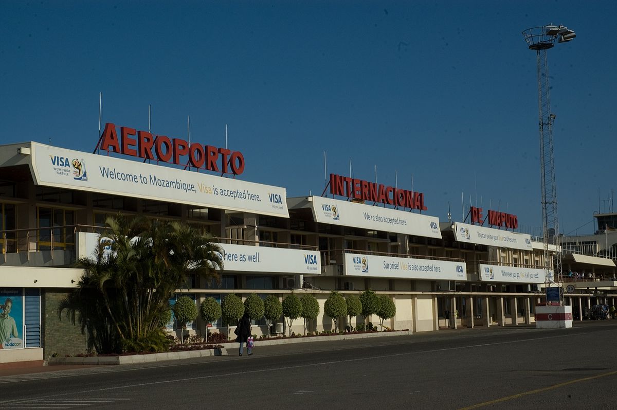
Steps are taken to connect Botswana by railway network. The air connection is on rise in Mozambique. It has 22 domestic airports and
136 air strips. It has two international airports at Maputo and Beira. Maputo is connected by air to cities like Lisbon, Doha,
Dar-es Salam, Nairobi, Johannesburg, harare, Lusaka and Cape Town. The LAM Mozambique is the national air carrier of Mozambique.
After its independence some industries are established in Mozambique. The industries are Aluminium, Petroleum, Cement, Steel,
Glass, Asbestos, Power plants, Fertilizer, Chemicals and mineral concentrates. Food , Beverages, Tobacco and Sugar
industries are also established in many places. Mozambique exports aluminium, cement, coal, natural gas, tantalite-columbite,
oil seeds, grams, cashewnuts and prawns. Major trade partners of mozambique are South Africa, Australia, China, India, Belgium,
Portugal, Spain, Germany, UK and USA.The Banco de Mozambique is the central bank of Mozambique. Metical is the currency of Mozambique. Euro of Europe and Rand of South Africa are
accepted as the currency in Mozambique. It is growing very fast in the past years.